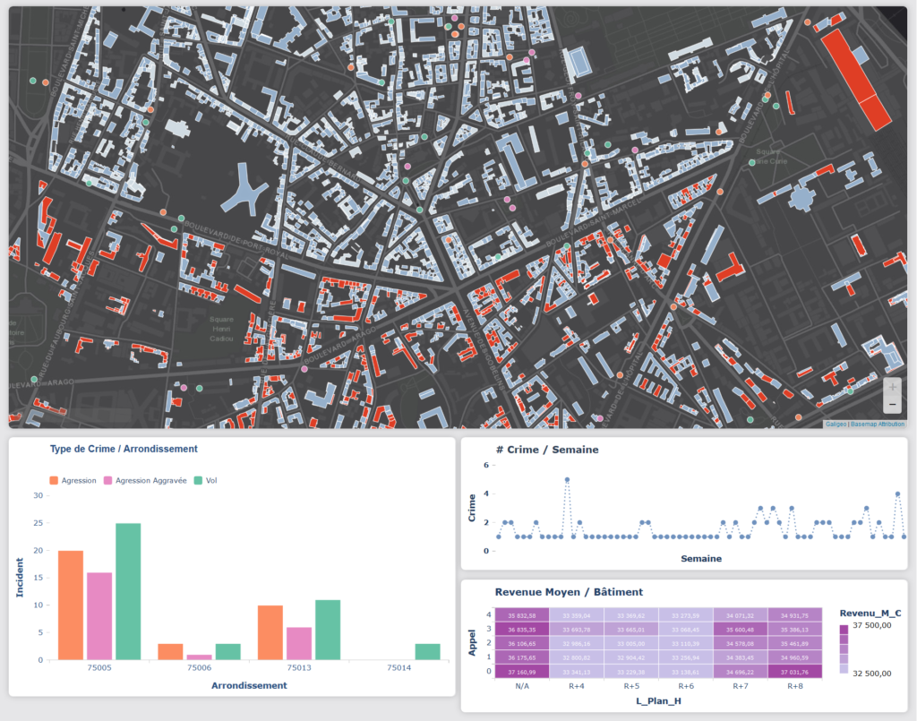
Location Intelligence for Public Safety and Law Enforcement
Law Enforcement Agencies such as Police all benefit from Location Intelligence to fight crime efficiently, ensure great officer safety, manage deployment of strategic resources, protect and engage with people and communities.
Galigeo Solutions deliver strong Location Intelligence capabilities for Law Enforcement Agencies, seamlessly integrated to existing IT and BI solutions.

Leveraging Location Intelligence to make the world safer
Discover how Location Intelligence and Analytics answers to Public Safety and Law Enforcement challenges.

Crime Analytics

Field & Patrol Operations

Crisis Response
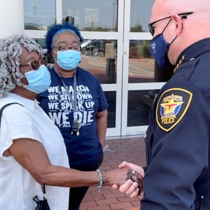
Engagement & Transparency
Integrate Location Intelligence at the core of decision-making processes
Galigeo Location Intelligence software can be leveraged through its own on-premise platform, or embedded natively into IT and BI solutions already in place.
![]()
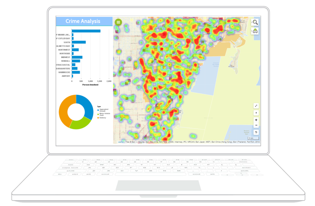
Crime Analysis
Identify Crime Trends and Patterns
With Galigeo, Crime Analysts can import data from multiple data sources, and blend them to create meaningful cartographic visualisations and perform spatial analysis.
By leveraging built-in features such as filter by proximity or spatial time series, they can find crime patterns and trends and predict future risk areas and hot spots.
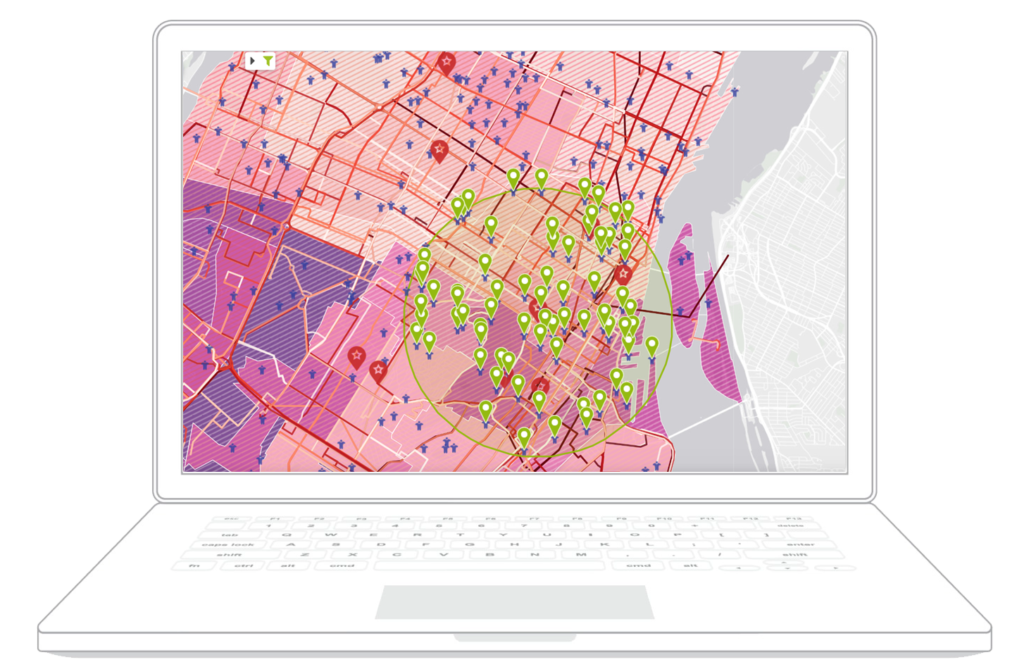
Intelligence Analysis
Support Investigations
Galigeo allows Data Analysts to manipulate, visualize and analyze GPS and real-time tracking data, so they can achieve crucial use-cases, such as car tailing.
Location Intelligence thus helps Investigators uncover criminal networks and understand suspect activity patterns, by correlating the right data such as cell phone records or financial transactions.
Patrol & Field Operations
Empower Workforce in the Field
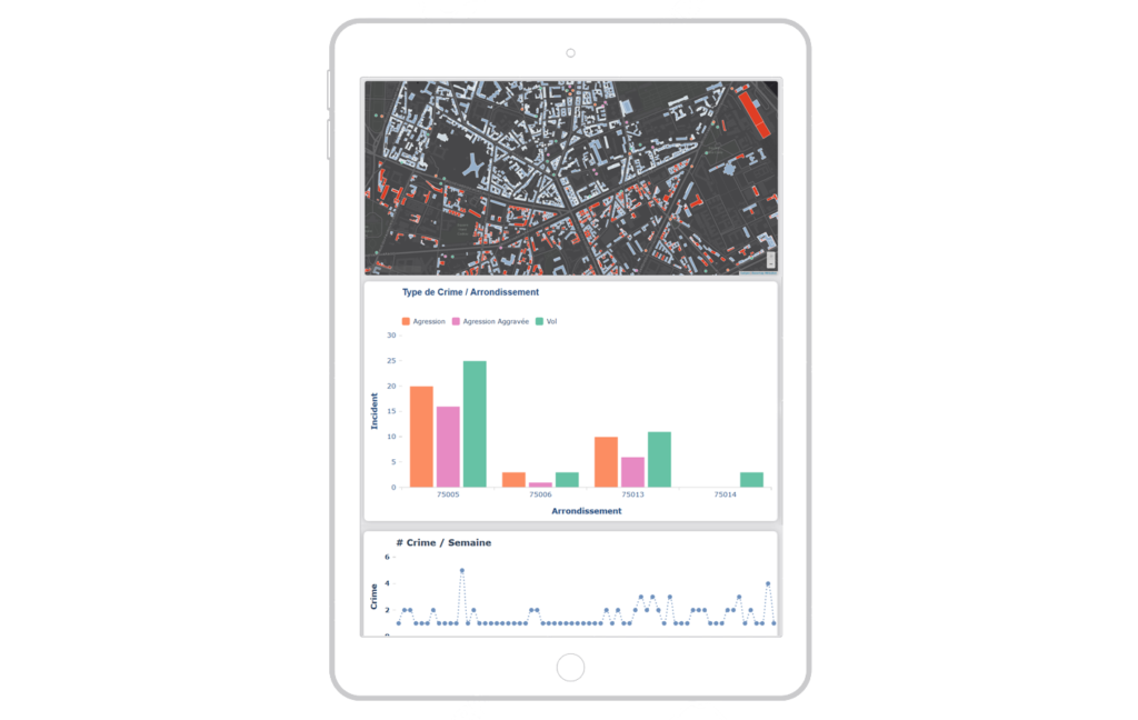
Cartographic reports created with Galigeo can be deployed on tablets for officers in the field, so they can efficiently plan their patrol and field operations using accurate and up-to-date location data.
Operations staff can use location-driven dashboards to visualize workforce locations in real time, and allocate resources based on ongoing events.
Police Transparency
Share, Communicate and Engage Effectively
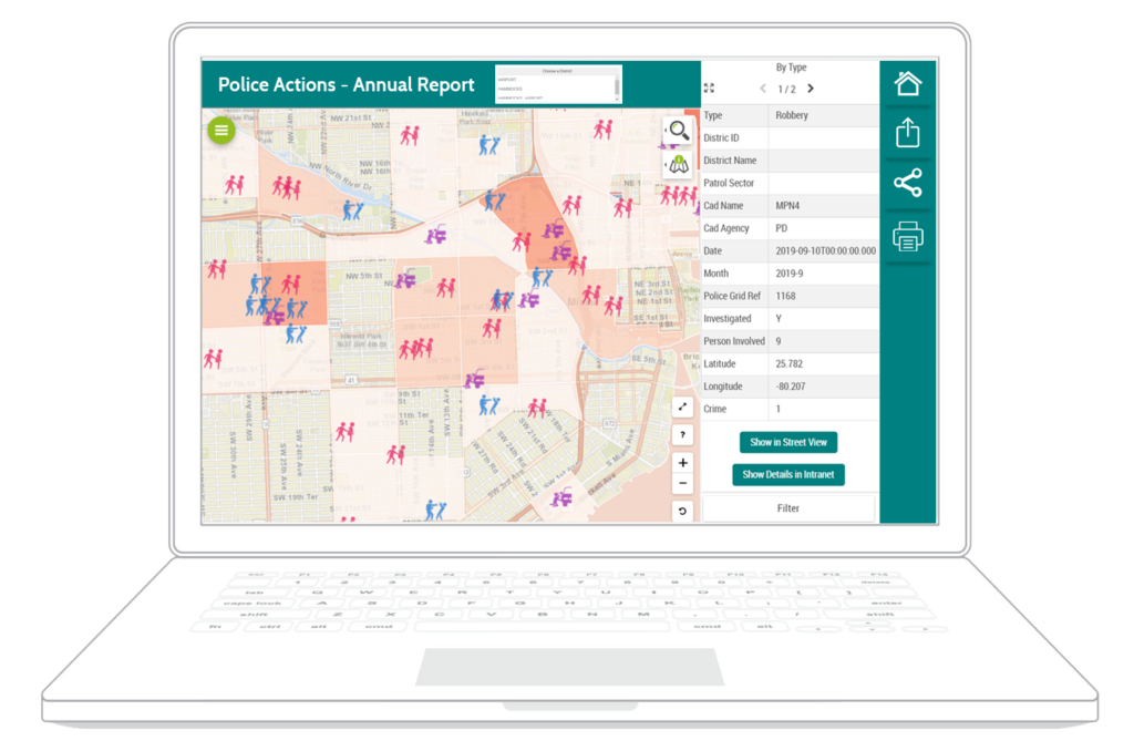
Spatial analysis reports created with Galigeo can be shared with command staff, officers in the field, and even general public. So information and decisions are understood by all, helping promoting workforce cohesion and diversity, and engaging with communities.
Galigeo supports various way of sharing, such as interactive reports, embedding reports into different environments (portal, website, …), hard-copy, PDF, …
Delivering Location Intelligence to the people who need it
Galigeo Location Intelligence Solutions for Law Enforcement can be used at office by Data Analysts and Data Scientists, and on the field by Officers, without the need to be a GIS expert.